
Car Rental in Murree
For an agreed hotel pickup, family sightseeing and nearby destinations. Send your exact pickup, intended stops and whether the vehicle should stay with you.
Plan local sightseeing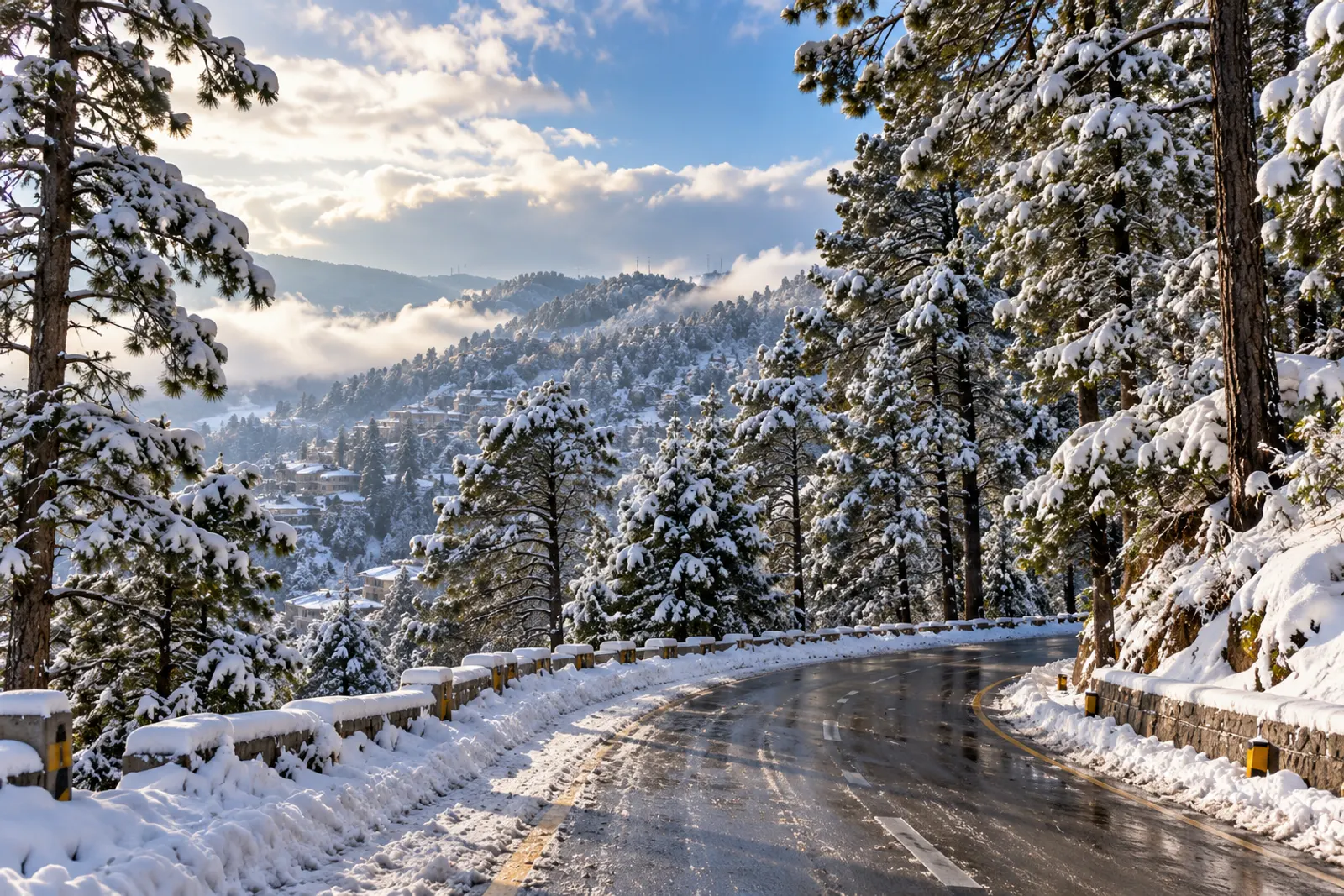
THE HILLS, AT YOUR OWN PACE
Explore Murree, Nathia Gali
& Ayubia in Comfort
From a family sightseeing day to a journey from Islamabad, plan the pickup, the stops and the right vehicle with Huzaifa Enterprises. We confirm access, availability and your complete quotation before booking.
Islamabad-based team · Quote confirmed individually · No payment to submit an enquiry
FIRST, CHOOSE YOUR JOURNEY
Murree local sightseeing and an Islamabad transfer are different services. Start with the journey you need; we’ll help confirm the details.
For an agreed hotel pickup, family sightseeing and nearby destinations. Send your exact pickup, intended stops and whether the vehicle should stay with you.
Plan local sightseeingFor departures from Islamabad or Rawalpindi: one-way transfers, return journeys or a car retained for sightseeing. Confirm the complete route and schedule.
Plan your transfer Islamabad to Murree faresTravel with our With-Driver rental service from Islamabad or Rawalpindi, or ask about a local pickup in Murree. Planning a longer journey? Explore out-city travel and Northern Areas trips. Send your plans through the booking form and we’ll email your enquiry to the team.
Published one-way route fare. Choose your endpoint and check the trip inclusions.
ROOM FOR YOUR PEOPLE & PLANS
From comfortable sedans to spacious family SUVs and group transportation, explore vehicles suitable for your Murree, Nathia Gali and Ayubia journey.
Choose a vehicle for your group, then request a complete quote for your route. Daily rental rates are shown below; trip fares include their own agreed itinerary and expenses.
Showing 5 featured vehicles

Sedans
Tell us how many people and bags are travelling before choosing the vehicle.
With-DriverRs. 6,000 / day
Self-driveRs. 7,000 / day
Final Murree route, expenses and availability confirmed by quotation.
REQUEST QUOTE View Vehicle Details
Family SUVs
Check luggage space with every required seat occupied so everyone travels comfortably.
With-DriverRs. 8,000 / day
Final Murree route, expenses and availability confirmed by quotation.
REQUEST QUOTE View Vehicle Details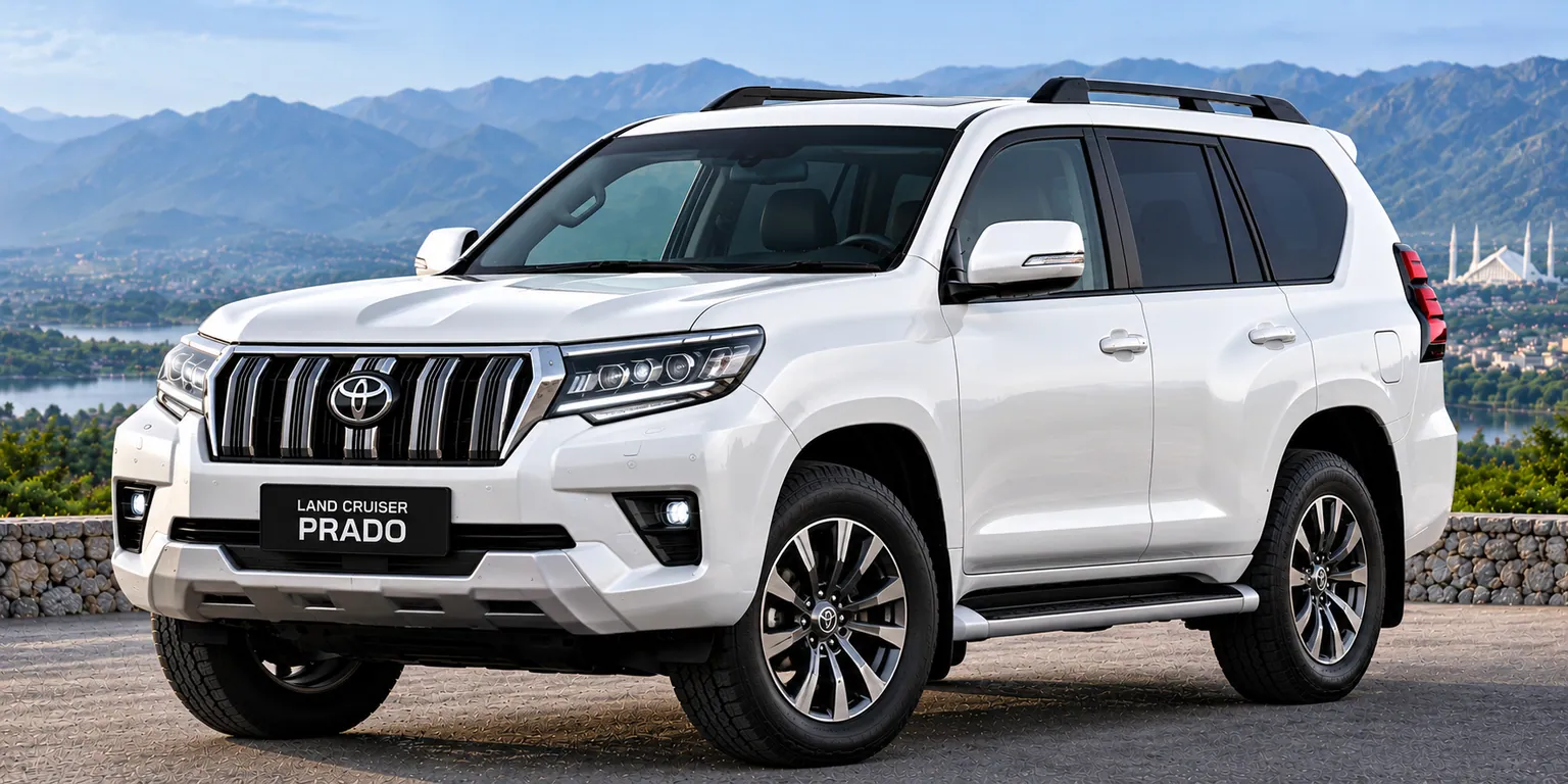
Luxury SUVs
Check luggage space with every required seat occupied so everyone travels comfortably.
With-DriverRs. 14,000 / day
Self-driveRs. 18,000 / day
Final Murree route, expenses and availability confirmed by quotation.
REQUEST QUOTE View Vehicle Details
Group Transport
Share your passenger and bag counts so the team can confirm the layout and road access.
With-DriverRs. 16,000 / day
Final Murree route, expenses and availability confirmed by quotation.
REQUEST QUOTE View Vehicle Details
Group Transport
Share your passenger and bag counts so the team can confirm the layout and road access.
With-DriverRs. 25,000 / day
Final Murree route, expenses and availability confirmed by quotation.
REQUEST QUOTE View Vehicle DetailsA suitable sedan may be enough for normal, clear-road travel. Confirm passengers, luggage and the exact approach.
Compare seven-seater options with the required seats occupied. Ask about bags, boarding and walking needs.
Consider the Hiace Grand Cabin or a correctly sized Coaster, subject to route access and the agreed passenger layout.
Vehicle condition, tyres, weather, restrictions and experienced driving matter. Check winter access and choose the vehicle with the team.
Explore our full vehicle fleet, compare published rental rates and read the applicable rental policies.
A DAY THAT FITS YOUR PACE
Suggested schedules start in Murree. Add travel time for an Islamabad or Rawalpindi pickup, and leave room for meals, weather and traffic.
Allow 4–6 hours from Murree
Mall Road · Kashmir Point · Pindi Point
A relaxed town day with shopping, valley views and time for a meal. Choose manageable walks between your vehicle stops.
Request a quote for this tripAllow 6–8 hours from Murree
Mall Road · Pindi Point · Patriata
Combine a short town visit with the drive to Patriata. Leave room for a ride if operating, or spend longer enjoying the forest scenery.
Request a quote for this tripAllow a full day, around 8–10 hours from Murree
Nathia Gali · Ayubia · Pipeline Track
Start early for the Galiyat drive, a town stop and a forest walk. Choose a short Pipeline stroll or arrange collection at the other end.
Request a quote for this tripCUSTOMER FEEDBACK
5.0/5 · 37 Google reviews. Feedback on our rental service.
“These are very good cars and they have very good drivers and experienced Whenever I have traveled with them, I have felt safe.”
“Had a great experience when I booked a car from them for one day, very safe ride and well mannered driver. Would definitely recommend to anyone who is looking to rent a car.”
A LITTLE HIGHER. A LITTLE COOLER.
Murree town’s commonly cited elevation is approximately 2,291 metres / 7,516 feet. The air is generally cooler than Islamabad because of the higher mountain setting; conditions still change with season and exposure.
The town developed as a hill station during the British colonial period. Its ridge-top streets, wooded surroundings and market centre remain distinct from the higher hiking summits around Nathia Gali. Do not use the town’s height as the elevation of every nearby attraction.
PACK FOR THE MONTH. CHECK THE DAY.
Historical climate averages from the Pakistan Meteorological Department, published through WMO WWIS for 1981–2010. These are average daily highs and lows, not record extremes or a live forecast. Rainfall is the source’s monthly precipitation measure, not snowfall depth.
PMD / WMO Murree climate normals, 1981–2010| Month | High / low | Rainfall | Conditions & clothing | Activities & precautions |
|---|---|---|---|---|
| January | 8.4° / -1.0°C | 131.9 mm | Cold winter; snow possible.Insulated layers, gloves and waterproof boots. | Short town stops if access is safe.Check ice and restrictions; postpone during warnings. |
| February | 9.0° / -0.4°C | 166.5 mm | Winter rain and possible snowfall.Warm waterproof layers and grip footwear. | Flexible sightseeing between weather systems.Do not rely on a clear morning lasting all day. |
| March | 13.2° / 3.9°C | 181.2 mm | Showers; cold spells can persist.Warm layers and a waterproof jacket. | Short forest walks when paths are safe.Check trail footing and fresh forecasts. |
| April | 18.5° / 8.7°C | 131.8 mm | Spring showers and cool evenings.Light layers plus rain protection. | Town viewpoints and manageable walks.Carry a warm layer for exposed stops. |
| May | 23.1° / 12.9°C | 83.4 mm | Milder days; showers remain possible.Breathable clothes, sun protection and a jacket. | Family sightseeing and forest outings.Hydrate and check the evening forecast. |
| June | 25.3° / 15.3°C | 142.0 mm | Warmest average days; rain still occurs.Light daytime layers and rainwear. | Longer daylight sightseeing plans.Allow for congestion and changing conditions. |
| July | 23.0° / 15.6°C | 339.5 mm | Monsoon; highest average rainfall.Waterproof jacket, grip shoes and spare clothes. | Short flexible outings during safe weather.Avoid exposed trails and travel during heavy-rain warnings. |
| August | 22.3° / 15.5°C | 302.4 mm | Very wet monsoon conditions.Rainwear, spare socks and a warm layer. | Town breaks when conditions permit.Watch visibility and avoid swollen streams. |
| September | 21.9° / 13.8°C | 131.0 mm | Rain eases relative to peak monsoon.Layers and a rain shell. | Viewpoints and forest photography in clear weather.Trails can remain muddy after rain. |
| October | 19.7° / 10.4°C | 63.1 mm | Cooler autumn; lower average rainfall.Warm evening layers and walking shoes. | Town walks and forest scenery.Daylight is shorter; plan an early return. |
| November | 16.0° / 6.0°C | 33.3 mm | Cool days and colder nights.Warm coat and closed footwear. | Short daylight sightseeing.Check cold spells and slippery surfaces. |
| December | 11.7° / 1.3°C | 72.2 mm | Winter begins; snow possible.Insulated layers, gloves and waterproof footwear. | Flexible winter sightseeing if roads permit.Do not plan around a guaranteed snowfall date. |
Cold nights and possible snow. Keep the itinerary flexible; safe access comes before sightseeing.
Daytime warmth builds, but showers and cold spells still call for layers.
June has the warmest average high; July and August are wetter. Carry rainwear and keep alternatives to outdoor walks.
Temperatures fall through the season. Clear-day viewpoints can be rewarding, but pack for cool evenings.
The average daytime high spans 8.4°C in January to 25.3°C in June. A historical normal is a planning aid, not a prediction for your date. Check the current PMD forecast
BEAUTIFUL SCENERY. SERIOUS PREPARATION.
Winter, particularly January and February, is the main snowfall planning period; December snow is possible too. Snow depends on individual weather systems. Check the current forecast and access advice before setting out.
Choose shorter outdoor stops, accessible boarding points and regular warm breaks. Keep spare clothes, snacks and personal medication within reach. Agree walking distances, stairs and vehicle access before departure; do not assume a trail or viewpoint is step-free.
Murree Police winter advisory, reported by APP NDMA winter contingency plan, January–March 2026
PLACES TO VISIT IN MURREE
Choose a few meaningful stops instead of rushing through every attraction. All road-distance references below start at Murree GPO; driving and walking approaches are shown separately.
Murree town
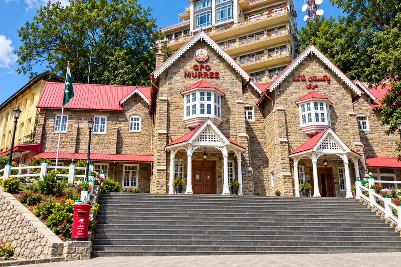
Start at Murree’s historic General Post Office, in the heart of Mall Road. Enjoy a photograph and a stroll through the town centre.
Agree a legal, accessible boarding point; the GPO reference is not a promised vehicle parking space.
From Murree GPO: Murree GPO reference point
Reference point
Murree town
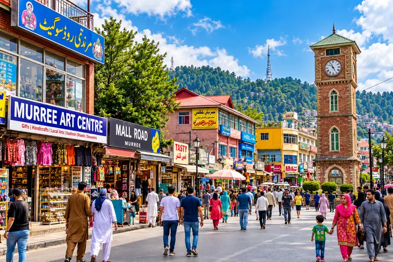
Browse shops and cafés on Murree’s lively central street. Pair it with a GPO stop and explore at your own pace.
Crowds and uneven or sloping surfaces can make a long walk tiring. Agree the walking distance for children and older visitors.
On Mall Road, at the GPO
Already at Mall Road
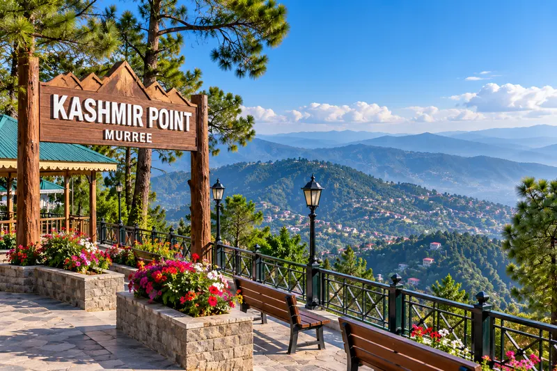
Murree town
Take a break above the town for valley views and mountain photography. Choose a clear day and allow for the uphill approach.
Keep children away from edges and allow for the uphill approach. Confirm the final vehicle access point.
From Murree GPO: Approx. 1–1.2 km
Approx. 4–5 minutes
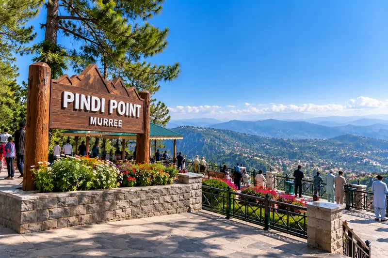
Murree town
Enjoy wooded slopes and broad valley scenery. The viewpoint makes a relaxed stop, with the chairlift an optional extra.
Do not assume a chairlift is open. Confirm operation, tickets and any access restrictions directly before visiting.
From Murree GPO: Approx. 3.2–3.5 km
Approx. 13–15 minutes
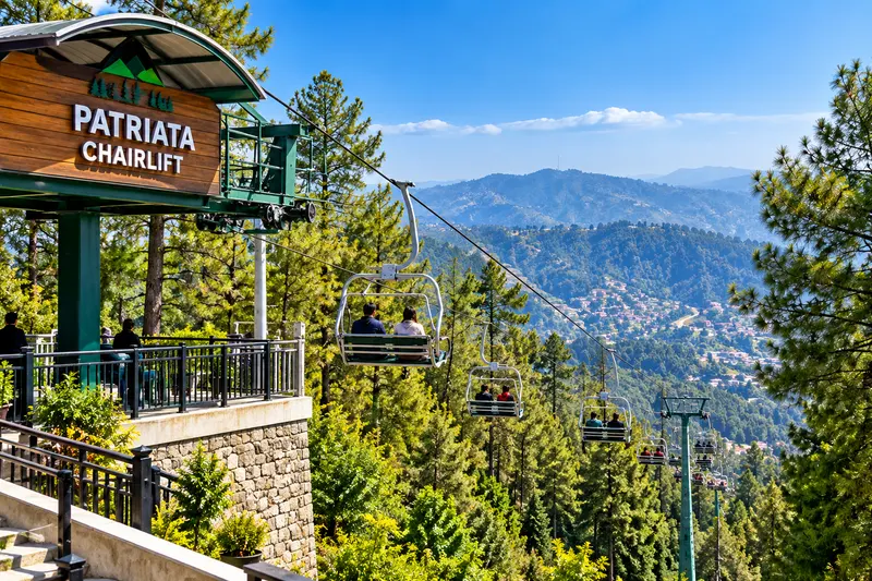
Murree surroundings
Head towards New Murree for forest scenery and the chairlift and cable-car attraction. Check ride operation before setting off.
Check the operator’s current status and passenger restrictions. No opening times or ticket prices are published here.
From Murree GPO: Approx. 15–16 km
Approx. 30–40 minutes
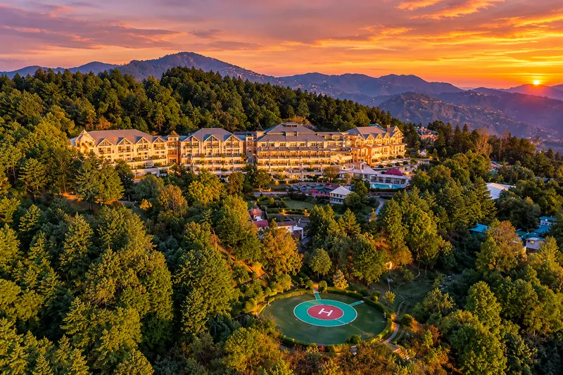
Murree surroundings
Enjoy a quieter hillside setting and a relaxed hotel or forest-view outing. Tell us the property or public stop you want to visit.
Hotel and golf-course grounds may be private. Confirm visitor access rather than assuming the entire resort landscape is public.
From Murree GPO: Approx. 10.5–11.6 km
Approx. 28–30 minutes
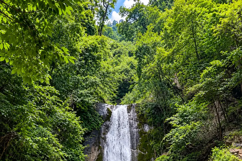
Murree surroundings
Visit Jannat Waterfall near Mohra and Khanspur for rocky pools and a forest setting. Check the final approach locally and take care around wet rocks.
Wet rocks and changing water levels are hazards. Keep to a safe approach and stay clear of fast-flowing water.
From Murree GPO: Approx. 40.7 km
Approx. 2 hours 3 minutes
A LITTLE FURTHER INTO THE GALIYAT
In Abbottabad District, Khyber Pakhtunkhwa, Nathia Gali offers forest scenery, short walks and access to separate hiking routes. Its commonly cited height is about 2,501 metres / 8,205 feet. Winter can bring snow; outdoor plans need a current forecast.
Tourism Corporation Khyber Pakhtunkhwa: Galyat brochure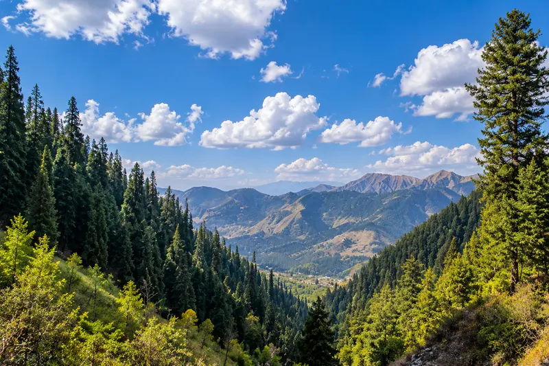
Plan a town visit and a nearby walk as two separate choices. A clear, settled day is preferable for views; a family with young children may choose a shorter walk instead of a summit hike.
The GPO-to-Nathia Gali road route is approximately 35–39 km, with a planning drive estimate of 1 hour 20 minutes–1 hour 35 minutes. Allow flexibility for your actual pickup, stops and road conditions.
Check the distance notesAyubia National Park was established in 1984 in Abbottabad District. Its coniferous and mixed woodland supports wildlife and quiet nature photography. Around 2,400 metres / 7,874 feet is a representative elevation only; the terrain varies across the park.
CAREC Visit Silk Road: Ayubia National Park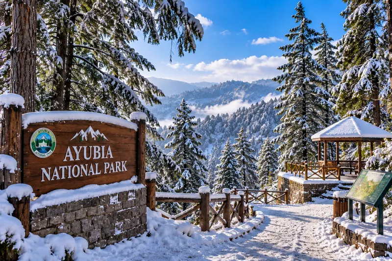
Galiyat
Explore coniferous woodland and quiet forest paths in Ayubia National Park. Choose a permitted walk suited to your group.
Stay on permitted paths, avoid disturbing wildlife and confirm trail access. Check chairlift operation separately if you want to include a ride.
From Murree GPO: Approx. 31.3 km
Approx. 1 hour 20 minutes
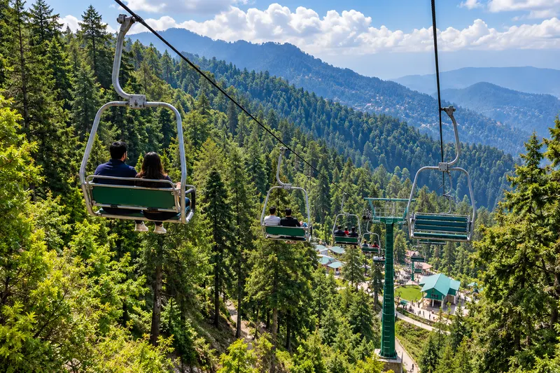
Galiyat
Pair the Ayubia area with forest sightseeing. Check with the operator before planning a chairlift ride.
Check current operation with the lift operator and keep time for a nearby forest stop.
From Murree GPO: Approx. 22.5–25 km
Approx. 1 hour–1 hour 15 minutes
Getting to a trailhead is a drive. Reaching a summit is a hike. Keep the two distances separate when planning your day.
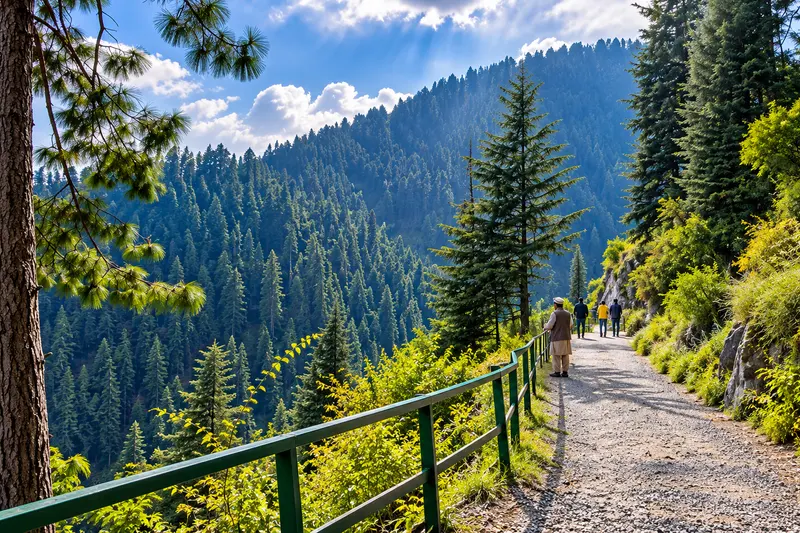
Walking routes
Choose the Dunga Gali or Ayubia entrance for a mostly gentle, 3.5–4 km forest walk one way. Allow about 40–50 minutes plus stops, and arrange pickup at the end you choose.
Wear shoes with grip. Rain, ice, snow and exposed edges can change the difficulty; check access and turn back if footing is unsafe.
Choose either entrance: Dunga Gali or Ayubia. See both approaches in the distance table below.
From Murree GPO: Approx. 29.3 km
Approx. 1 hour 16 minutes
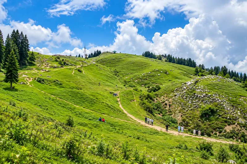
Walking routes
At about 2,800 metres (9,200 feet), Mushkpuri is the Galyat’s second-highest peak after Miranjani. Reach it on foot from Nathia Gali or Dunga Gali; plan your driving approach and hike separately.
Wear walking footwear, carry water and layers, and agree the trailhead and pickup. Do not confuse the level Pipeline Track with the summit climb.
From Murree GPO: Road-access estimate: 30.3–35 km — chosen trailhead area
Approx. 1 hour 15 minutes–1 hour 30 minutes to trailhead area
PUT YOUR PLACES IN PERSPECTIVE
Discover scenic viewpoints, waterfalls, forest trails and mountain destinations. Select an attraction to explore its location and plan your journey.
Explore 13 attractions
Select from the list or use keyboard-focusable markers. Tab reaches map controls and markers; arrow keys pan the focused map. Scroll-wheel zoom is off so you can keep reading. Choose your attraction, then agree a convenient meeting point. Desktop labels appear where space allows; selecting a pin reveals its name on mobile.
Choose an attraction from the list.
Explore 12 mapped places. The complete attraction list works without loading external tiles.
Loading the map contacts OpenStreetMap standard tiles. Provider privacy informationFor Mushkpuri, arrange vehicle pickup at your chosen hiking start. The peak marker shows the summit.
ONE STARTING POINT. CLEAR LIMITS.
Plan your drive from Murree GPO, then allow time for the local walk at each stop. Park entrances and hotel approaches can change the route; agree your meeting point with the team.
| Attraction | Road from GPO | Drive estimate | Walk | Directions |
|---|---|---|---|---|
| Murree GPO | Murree GPO reference point | Reference point | Reference point | View on map |
| Mall Road Murree | On Mall Road, at the GPOStart your Mall Road stroll at GPO Chowk. | Already at Mall Road | 0 m to Mall Road; optional central GPO stroll approx. 350 m / 4 minutes. | Directions |
| Kashmir Point Murree | Approx. 1–1.2 kmDistance varies with the chosen viewpoint and access point. | Approx. 4–5 minutes | Approx. 1–1.2 km / 15–20 minutes via Mall Road and Kashmiri Road. | Directions |
| Pindi Point Murree | Approx. 3.2–3.5 kmDrive via Jinnah Road / TV Station Road, or take the shorter pedestrian approach at your own pace. | Approx. 13–15 minutes | Approx. 2 km on the pedestrian approach; allow for hills and your walking pace. | Directions |
| Patriata Chairlift | Approx. 15–16 kmVia the Lower Topa / Tourism Highway approach; confirm current ride operation separately. | Approx. 30–40 minutes | Walk locally after arrival at the chairlift base; ride distance is not a walking distance. | Directions |
| Bhurban | Approx. 10.5–11.6 kmVia Upper Jhika Gali Road / Khaqan Abbasi Road; destination-dependent estimate. | Approx. 28–30 minutes | Local walking depends on your chosen hotel or public stop; agree the endpoint and access. | Directions |
| Jannat Waterfall | Approx. 40.7 kmVia Abbottabad Road and Khanspur–Riala Road. | Approx. 2 hours 3 minutes | Approx. 5-minute final walk from the road; check the approach locally. | Directions |
| Nathia Gali | Approx. 35–39 kmVia Abbottabad Road / Nathia Gali Road; exact hotel or town endpoint changes the distance. | Approx. 1 hour 20 minutes–1 hour 35 minutes | Local town walks vary with your stop; Mushkpuri summit hiking is a separate route. | Directions Source |
| Ayubia National Park | Approx. 31.3 kmApprox. 31.3 km to the Nathia Gali Road park approach. Other entrances are about 26–30 km away; choose the entrance for your walk. | Approx. 1 hour 20 minutes | Choose a permitted forest walk; the Pipeline Track is listed separately below. | Directions Source |
| Ayubia Chairlift parking | Approx. 22.5–25 kmDrive via Abbottabad Road / Galyat Road and agree a convenient parking point near the lift base. | Approx. 1 hour–1 hour 15 minutes | Final walk from the agreed parking point to the lift base; length depends on where you park. | Directions |
| Pipeline Track — Dunga Gali entrance | Approx. 29.3 km | Approx. 1 hour 16 minutes | Approx. 3.5–4 km one way / 40–50 minutes; allow longer for stops, fitness and conditions. | Directions Source |
| Mushkpuri Peak | Road-access estimate: 30.3–35 km — chosen trailhead areaDrive to your agreed hiking start, then continue on foot. The summit marker helps you locate the peak; use your chosen trailhead for vehicle pickup. | Approx. 1 hour 15 minutes–1 hour 30 minutes to trailhead area | From Nathia Gali: approx. 4 km / 2–3 hours. From Dunga Gali: approx. 2.5 km / 1.5–2 hours, steeper. Confirm the selected trail and access. | Directions Source Source |
| Pipeline Track — Ayubia entrance | Approx. 22.6 kmChoose the Ayubia end for your walk and agree the meeting point before leaving. | Approx. 1 hour | Approx. 3.5–4 km one way / 40–50 minutes toward Dunga Gali; allow longer for stops and conditions. | Agree your entrance meeting point |
Driving times may change due to traffic, weather and road conditions. These are planning estimates, not live journey times.
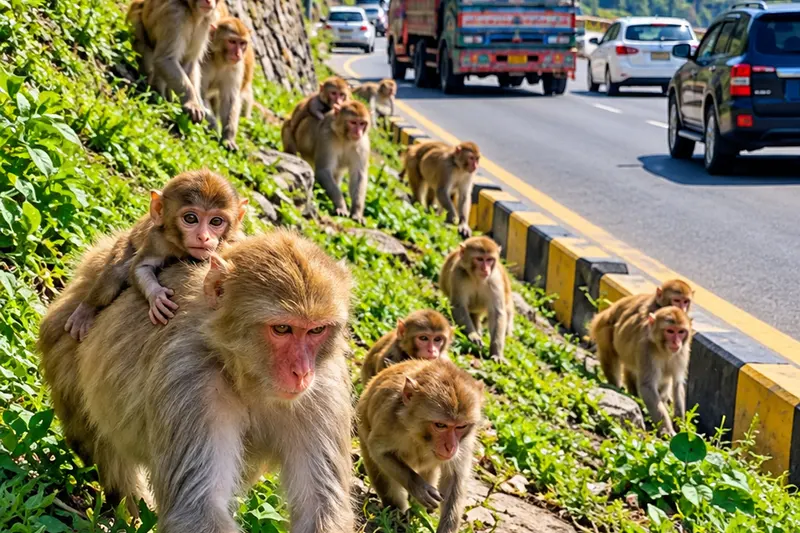
WILDLIFE, WITH RESPECT
Monkeys may sometimes be seen between Murree and Ayubia. Sightings are incidental, not a guaranteed stop. Watch from a safe distance; do not feed, touch or approach them. Do not stop on bends, block traffic or step into the road for a photograph.
Keep children close and food packed away. A wildlife sighting is not a reason to leave a safe vehicle position or cross a busy road.
THE WAY THERE IS PART OF THE TRIP
Choose the approach for your starting address, destination and current road restrictions. Allow flexibility for traffic and stops.
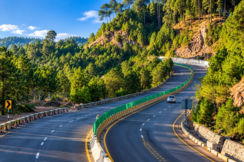
The Islamabad–Murree Dual Carriageway is the main expressway approach towards Lower Topa, with the final town approach depending on the destination. From Islamabad, the Bhara Kahu and Phulgran side of the approach matters; traffic before the hills can affect the whole journey.
The divided road does not remove winter risk. Fog, ice, rain and any official restrictions still control whether and how travel should proceed.
The older approach through the Tret and Ghora Gali corridor is a different, winding mountain-road option. Roadside development, bends and traffic can affect progress. It is not automatically a faster diversion when the expressway is restricted.
Rawalpindi pickups require their own city approach; do not apply an Islamabad city-centre estimate to every address. Agree the hotel approach and any Galiyat extension separately.
NDMA Murree route guideline Check road guidance with NHMPAgree your route, stops and inclusions with your quotation. Compare out-city service options.
A SMALL BAG OF USEFUL THINGS
Warm layers, gloves, waterproof boots and spare clothes. Carry food, drinking water and regular medication; postpone if access is unsafe.
A waterproof shell, grip footwear and dry spares. Avoid exposed paths and swollen streams; allow for reduced visibility and changed plans.
Sun protection, water and an evening layer. Summer needs rainwear too; autumn days shorten, so leave room for an early return.
Plan rest stops, easy boarding and manageable walks. Discuss children, older travellers and limited mobility before choosing the vehicle and itinerary.
PRICE & TERMS, BEFORE YOU CONFIRM
Vehicle-card prices are published rental references. Murree pickup access, itinerary, waiting, stops and any overnight arrangements need a complete quotation. Read the published rental policies and rental rate references before agreeing the service.
A CLEARER PLAN STARTS HERE
Send your hotel or pickup address, dates, passengers, bags and intended stops through the booking form. We’ll help arrange your pickup and send a complete quotation.
Yes. Choose a one-way transfer or describe your return and sightseeing schedule. The separate Islamabad–Murree route page lists the existing published route references; an SUV, overnight stay or additional stops need their own confirmed quotation.
Compare seats in the fleet, then tell the team about passengers, child seating needs and luggage. Allow room for bags as well as every passenger. Road conditions, tyres and the route also affect suitability.
Murree town is commonly cited at approximately 2,291 metres (about 7,516 feet). It is a town reference, not the elevation of every hotel, surrounding peak or road.
Winter, especially January and February, is the main planning window; December snow is also possible. Dates, depth and road access cannot be guaranteed. Read current PMD and road advisories before travelling.
Approximately 35–39 km from Murree GPO, with a planning drive estimate of 1 hour 20 minutes–1 hour 35 minutes. Your endpoint, traffic, weather and road conditions affect the journey.
No. The Dunga Gali–Ayubia Pipeline Track is approximately 4 km one way along a generally gentler forest contour. Mushkpuri is a separate uphill summit hike. Confirm the starting point and walking ability before choosing either.
Yes, as an optional stop when the operator is running rides. Check the current opening, tickets and weather conditions directly before travelling. We can plan the rest of your sightseeing around that stop.
Use the website booking form, which emails our team. Availability, the final quotation and applicable terms must be agreed before a booking is confirmed.
For payment, cancellation and service requirements, use the published rental policies. For route fare references, visit Islamabad to Murree car rental.
LESS GUESSWORK. MORE TIME IN THE HILLS.
Send the dates, pickup, passengers, bags and places you want to visit through the booking form. Our team will check the request and discuss availability and your quotation.
START BOOKING